Our Services
We Deliver
At Sigma Geosystems Limited, we provide comprehensive geospatial technology solutions tailored to meet the needs of industries, government agencies, and organizations. Our expertise spans across surveying, mapping, environmental assessments, geospatial intelligence, and capacity building.
We can create a better tomorrow
Every dollar counts and helps us bring hope and essential resources to those in need.
1. Land & Engineering Surveying
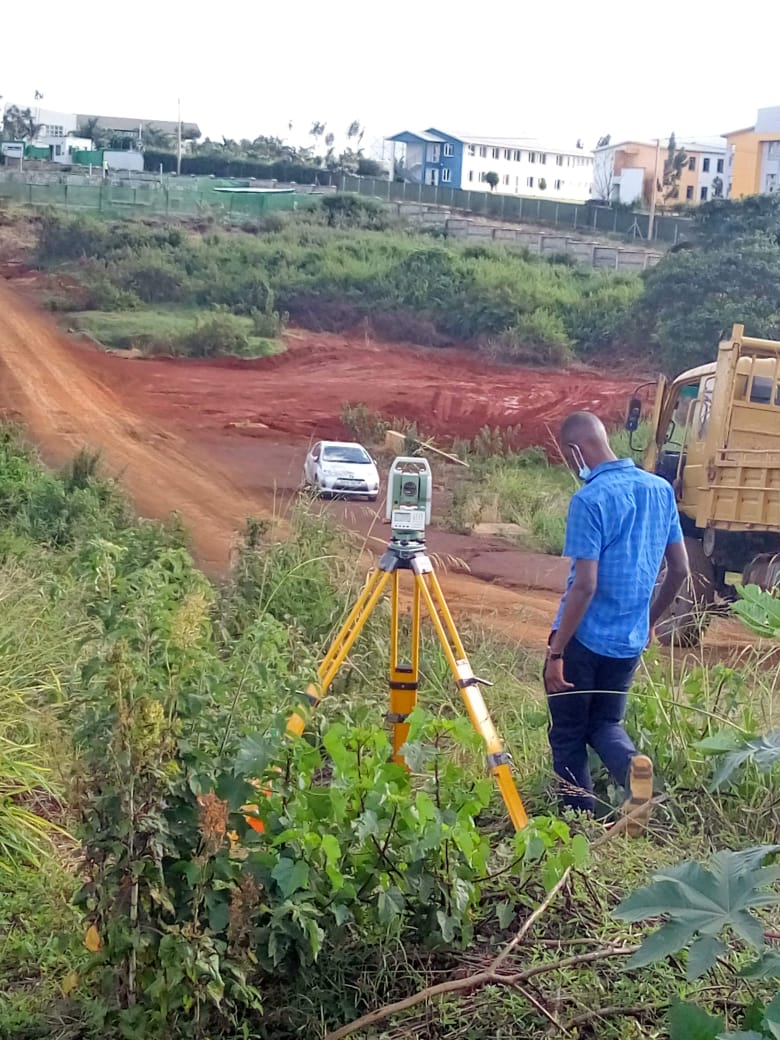
We offer a full range of surveying solutions to support land ownership, infrastructure development, and large-scale projects.
✔ Fixed/Cadastral Survey – Accurate land measurements and boundary delineation to support legal land ownership and property management. Our surveys comply with land registration requirements and property documentation standards.
✔ General Boundary Survey – Precise boundary definition to prevent disputes and ensure accurate land ownership records. Essential for land registration, property sales, and urban development projects.
✔ Static Survey – High-accuracy control point surveys used to establish precise geospatial reference points. These control points are crucial for large-scale mapping, infrastructure projects, and geospatial analysis.
✔ Engineering Survey – Precision-driven surveying to support the design, construction, and maintenance of roads, bridges, buildings, and other infrastructure projects. Ensuring structural integrity, compliance with engineering standards, and optimized project execution.

2. GIS & Geospatial Data Solutions
Harnessing the power of Geographic Information Systems (GIS), we provide geospatial solutions that facilitate informed decision-making.
✔ GIS & Mapping – Collecting, analyzing, and visualizing spatial data through Geographic Information Systems (GIS). We integrate GIS with electronic media, the internet, WAN & LAN networks to ensure seamless access and data sharing across platforms.
✔ GeoIntelligence (GeoIntel) – Advanced geospatial intelligence services for defense, security, urban planning, and disaster management. By integrating GIS, AI-driven analytics, remote sensing, and real-time data processing, we provide actionable insights for strategic operations.
3. Remote Sensing & Advanced Mapping
We leverage cutting-edge technology to deliver high-resolution mapping and environmental assessments.
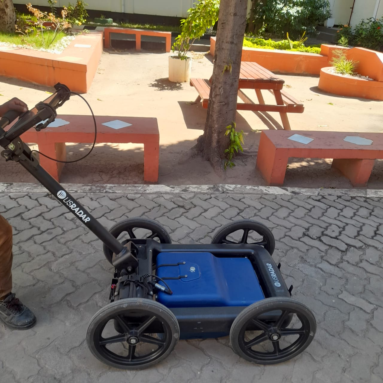
✔ GPR Mapping & LiDAR – Ground Penetrating Radar (GPR) and Light Detection and Ranging (LiDAR) for high-resolution subsurface and topographical mapping. These technologies provide accurate 3D models for infrastructure development, environmental monitoring, and resource exploration.
✔ Environmental Impact Assessment (EIA) – Comprehensive environmental impact studies to assess the effects of development projects. We ensure compliance with environmental regulations, land use planning, and biodiversity conservation.
✔ Urban Planning & Development – Providing geospatial insights for optimizing land use, sustainable urban growth, and infrastructure planning. We support smart city initiatives and efficient resource allocation for future-ready urban environments.
4. Training & Capacity Building
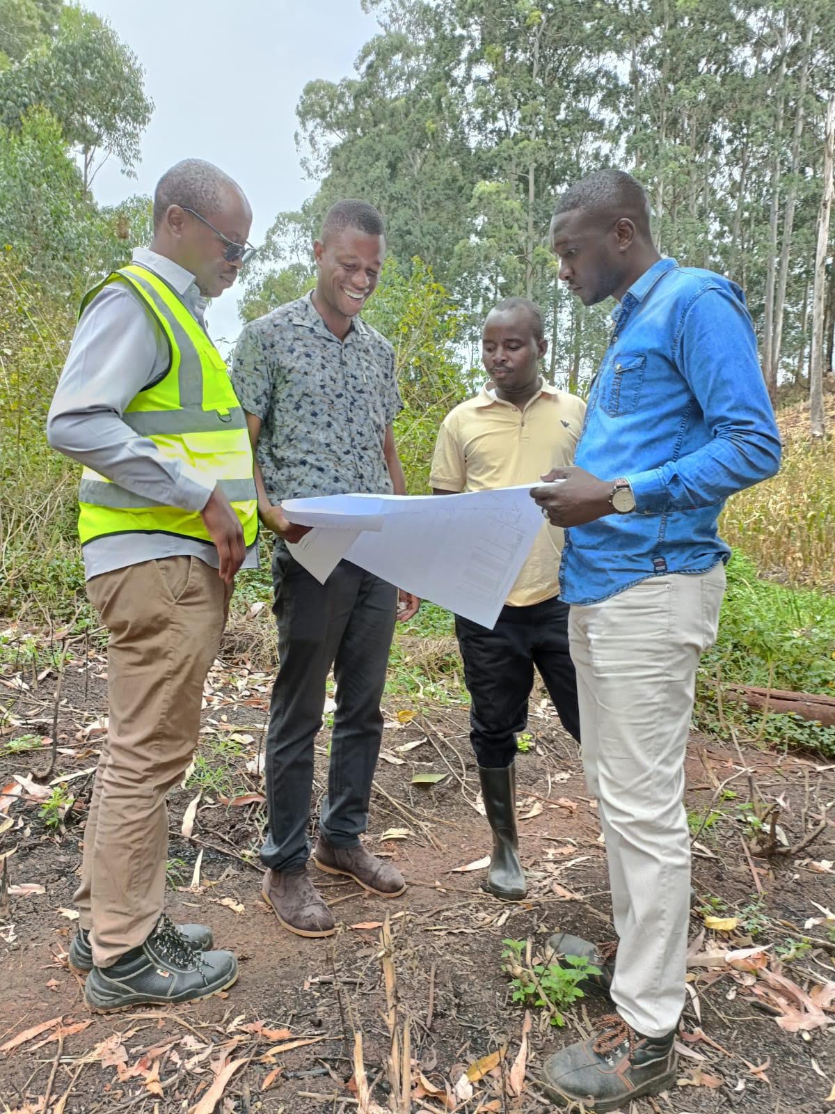
Empowering professionals with specialized geospatial skills through structured training programs.
✔ Professional Training in GIS & Remote Sensing – Equipping individuals and organizations with GIS software proficiency, remote sensing applications, and spatial data analysis techniques.
✔ Surveying & Mapping Workshops – Hands-on capacity-building initiatives covering surveying techniques, mapping tools, and geospatial data management.
✔ Customized Training Programs – Tailored courses to meet industry-specific requirements, ensuring professionals stay ahead in the evolving geospatial landscape.
5. Surveying Equipment Sales & Leasing
We provide high-quality surveying instruments to ensure precision and efficiency in geospatial projects.
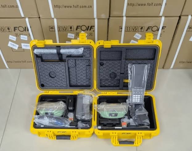
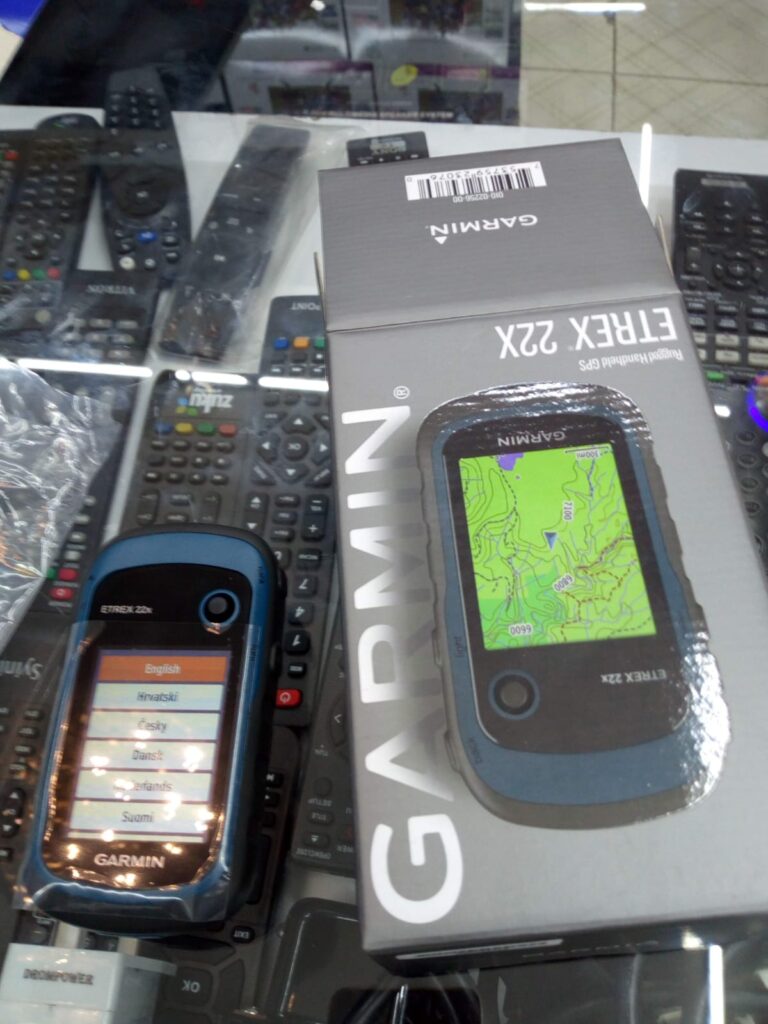
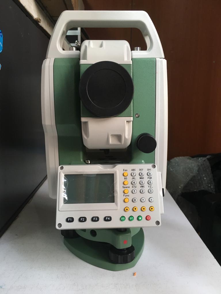
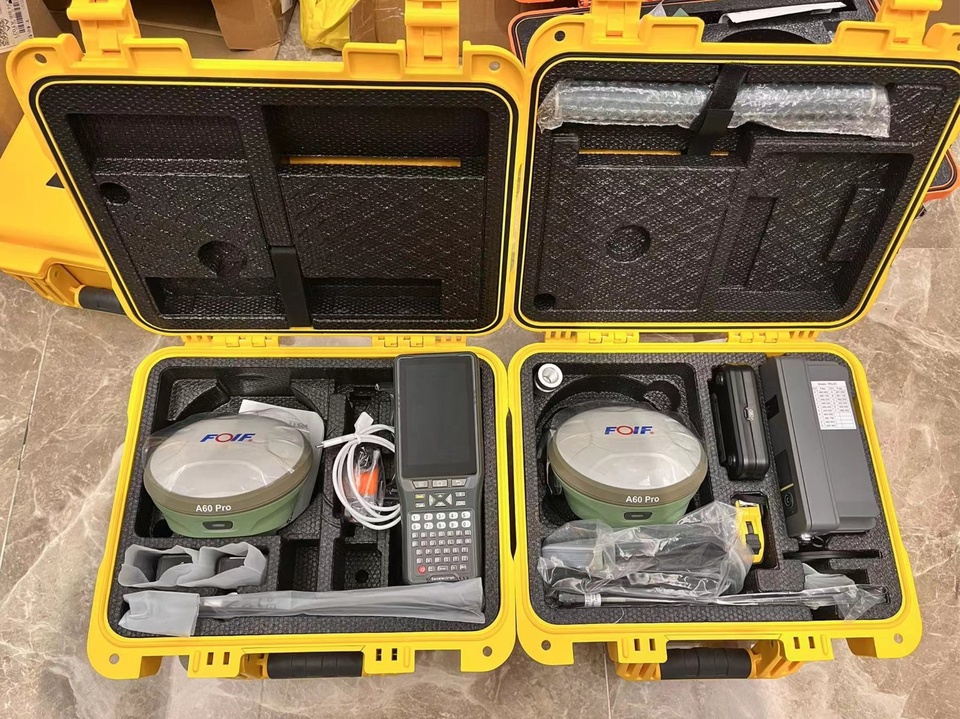
✔ Sales of Premium Surveying Equipment – Supplying cutting-edge tools such as Total Stations, GPS receivers, drones, and LiDAR scanners.
✔ Equipment Leasing – Flexible leasing options for professionals and organizations requiring short-term access to advanced surveying equipment.
✔ Expert Consultation – Assisting clients in selecting the right equipment based on project specifications, ensuring accuracy and efficiency in operations.
6. Printing, Scanning & Plotting Services
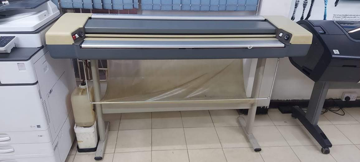
We offer high-resolution geospatial printing, scanning, and plotting solutions to support fieldwork and project documentation.
✔ Large-Format Printing – High-quality prints of topographical maps, GIS layouts, engineering drawings, and survey plans.
✔ Scanning & Archiving – Digital scanning and archival of maps, blueprints, and technical documents for easy retrieval and long-term storage.
✔ Plotting Services – Precision plotting of geospatial data for presentations, reports, and operational use.