About Us
Learn more about our non-profit organization and our mission to make a positive impact on the world through our charitable initiatives
Who We Are
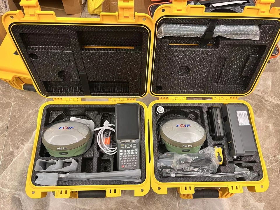
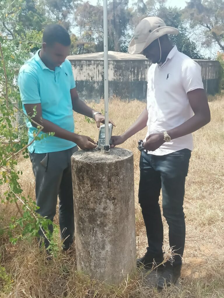
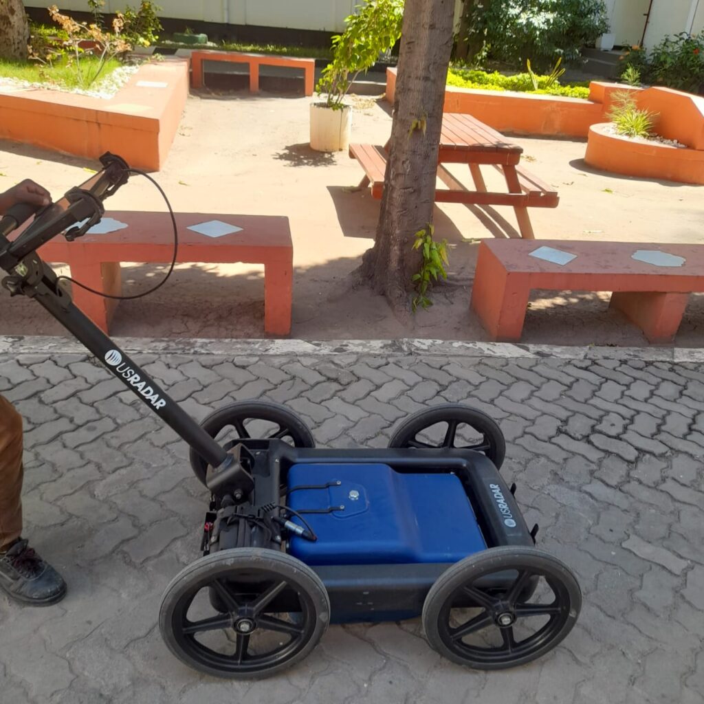
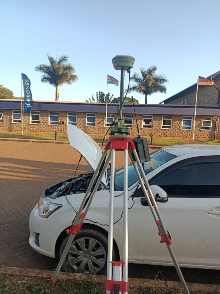
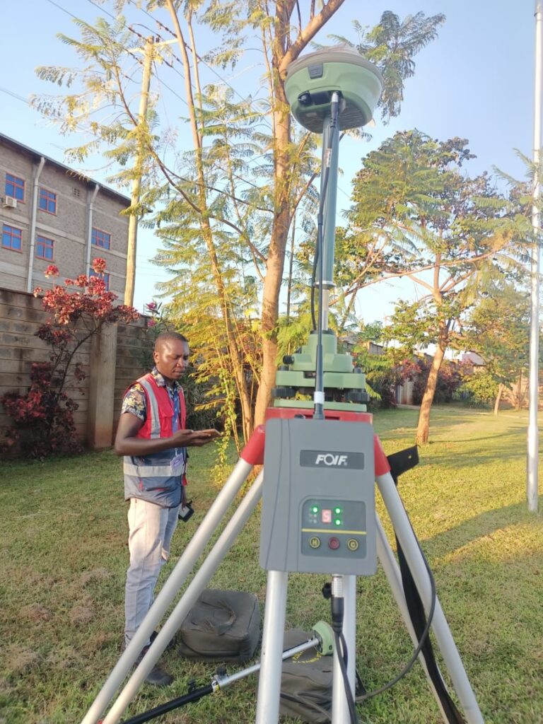
Sigma Geosystems Limited is a premier geospatial technology consultancy committed to delivering high-precision, data-driven solutions across diverse industries. We specialize in land surveying, GIS and mapping, LiDAR, GPR mapping, environmental assessments, and urban planning. Our team of experts leverages cutting-edge technology and advanced methodologies to provide reliable, accurate, and actionable geospatial insights that support strategic decision-making.
Industries We Serve
Our geospatial expertise spans across multiple sectors, helping businesses, government agencies, and organizations make informed decisions through accurate, data-driven insights.
01.
Real Estate & Land Development
Precision land surveys and mapping for property ownership, planning, and development.
02.
Infrastructure & Construction
Engineering surveys and geospatial analysis to optimize design and project execution.
03.
Environmental & Natural Resources
Environmental Impact Assessments (EIA), land use planning, and conservation mapping.
01.
Urban Planning & Smart Cities
Advanced GIS solutions for sustainable urban development and planning.
02.
Energy & Utilities
Geospatial intelligence for energy infrastructure, water resources, and renewable energy projects.
03.
Defense & Security
GeoIntelligence solutions for surveillance, disaster response, and security planning.
Our Technology Stack
We leverage the latest geospatial innovations to deliver high-precision solutions.
🌍 GIS & Remote Sensing – Advanced mapping, spatial analysis, and real-time data processing.
📡 LiDAR & GPR Mapping – High-resolution topographical and subsurface mapping.
🛰 Satellite & Drone Imaging – Aerial surveys for large-scale data acquisition and monitoring.
📊 AI-Powered Data Analytics – Machine learning-driven insights for predictive modeling.
🔍 Cloud-Based Geospatial Solutions – Seamless access to geospatial data across multiple platforms.
Our Vision & Mission
Our Vision
To be the leading geospatial technology consultancy, renowned for expertise, innovation, and precision in delivering cutting-edge solutions for sustainable development and informed decision-making.
Our Mission
Our mission is to provide world-class geospatial technology solutions that enhance efficiency, accuracy, and sustainability across various sectors. We achieve this by integrating the latest advancements in technology and fostering a culture of continuous improvement to deliver dependable, tailored solutions for our clients.