Empowering Industries with Precision Gospatial Solutions
Sigma Geosystems Limited is a trusted leader in geospatial technology consultancy. We specialize in high-precision, data-driven solutions that enhance decision-making and drive efficiency across multiple industries. Our expertise spans land surveying, GIS and mapping, LiDAR, GPR mapping, environmental assessments, and urban planning.
At Sigma Geosystems Limited, we go beyond traditional surveying and mapping—we integrate cutting-edge technology, industry expertise, and data intelligence to deliver unmatched geospatial solutions.
Sigma Geosystems Limited is a premier geospatial technology consultancy providing advanced solutions in surveying, mapping, environmental assessment, and urban planning. Our expertise includes Fixed/Cadastral Survey, Engineering Survey, GIS and Mapping, LiDAR, GPR Mapping, and much more.
Our Vision To be the leading geospatial technology consultancy, renowned for expertise, innovation, and precision in delivering cutting-edge solutions for sustainable development and informed decision-making.
Our Mission To provide world-class geospatial technology solutions that enhance efficiency, accuracy, and sustainability across various sectors through cutting-edge technologies and continuous innovation.
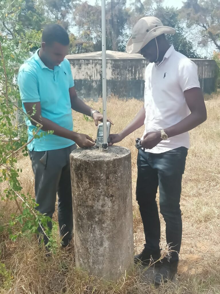
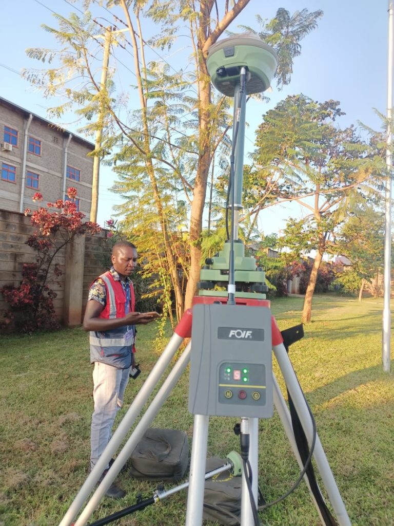
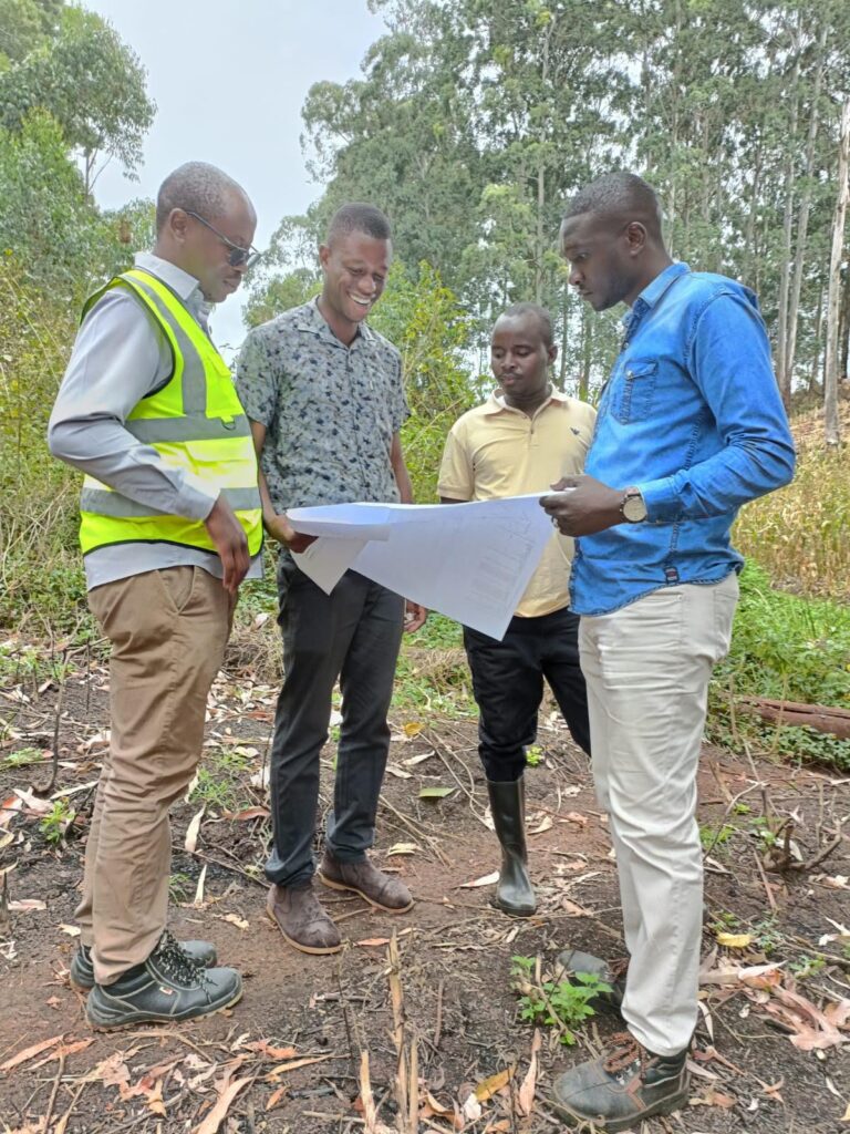
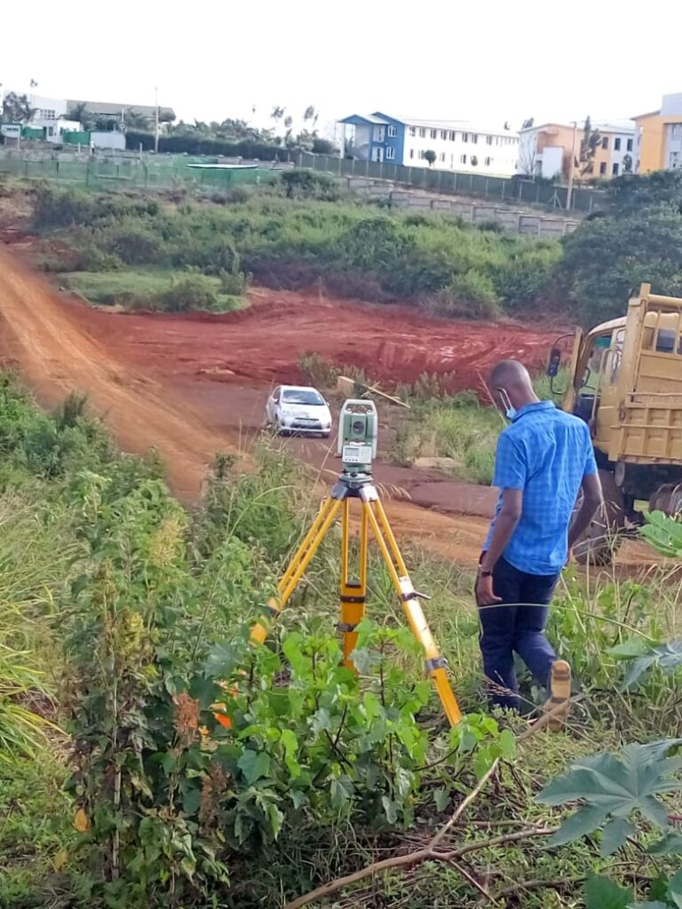
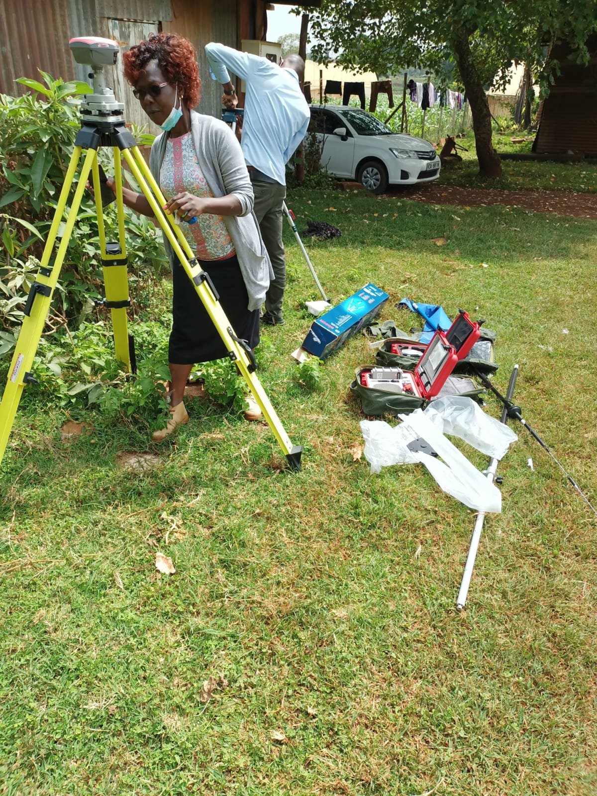
📍 Fixed/Cadastral Survey – Accurate land measurements for legal land ownership and property management. 📍 General Boundary Survey – Precise boundary delineation to prevent disputes and ensure proper land documentation. 📍 Static Survey – High-accuracy control point surveys essential for large-scale geospatial projects. 📍 Engineering Survey – Precision surveying to support infrastructure planning, design, and construction.
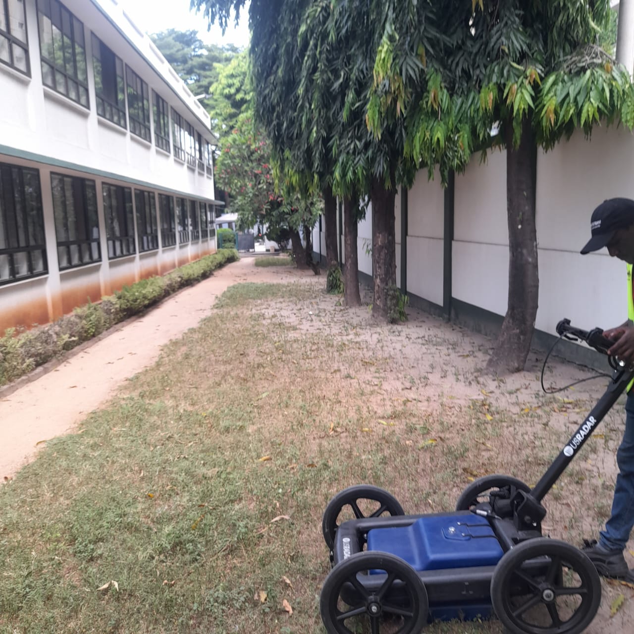
📍 GIS and Mapping – Collecting, analyzing, and visualizing spatial data for improved decision-making and planning. 📍 GPR Mapping & LiDAR – High-resolution subsurface and topographical mapping using cutting-edge technology. 📍 GeoIntelligence (GeoIntel) – Advanced geospatial intelligence integrating remote sensing, AI analytics, and real-time data for security, disaster management, and urban planning.
📍 Environmental Impact Assessment (EIA) – Evaluating potential effects of development projects on the environment to ensure sustainable and responsible growth. 📍 Urban Planning – Optimizing land use, infrastructure development, and sustainable city planning through geospatial insights.
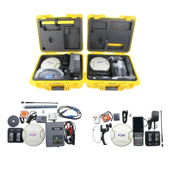
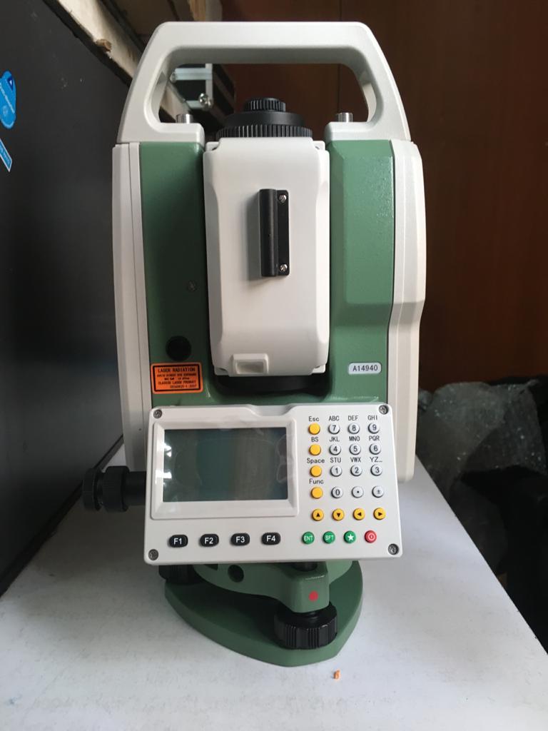
📍 Training & Capacity Building – Specialized programs, workshops, and hands-on training in geospatial technology. 📍 Surveying Equipment Sales & Leasing – Premium surveying tools and expert guidance for professionals and businesses.